Discovery. Conservation. Action.
Making scientific discoveries, supporting conservation and galvanizing action
The Center for Global Discovery and Conservation Science leads spatially-explicit scientific and technological research focused on mitigating and adapting to global environmental change.
Our programs
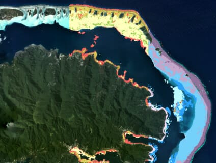
Allen Coral Atlas
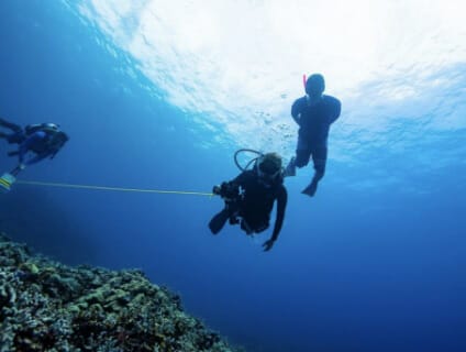
The Allen Coral Atlas uses satellite imagery to map and monitor the world’s coral reefs. Led by GDCS, the program partners with teams around the globe to create a cutting-edge coral reef resource. With the world’s first global habitat maps and coral bleaching monitoring system, the integrated platform supports the coral reef protection efforts of policymakers, researchers and conservationists.
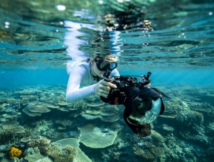
Mega Lab
Through data science, remote sensing and molecular analysis, surfers, skaters and artists create solutions to protect our oceans.

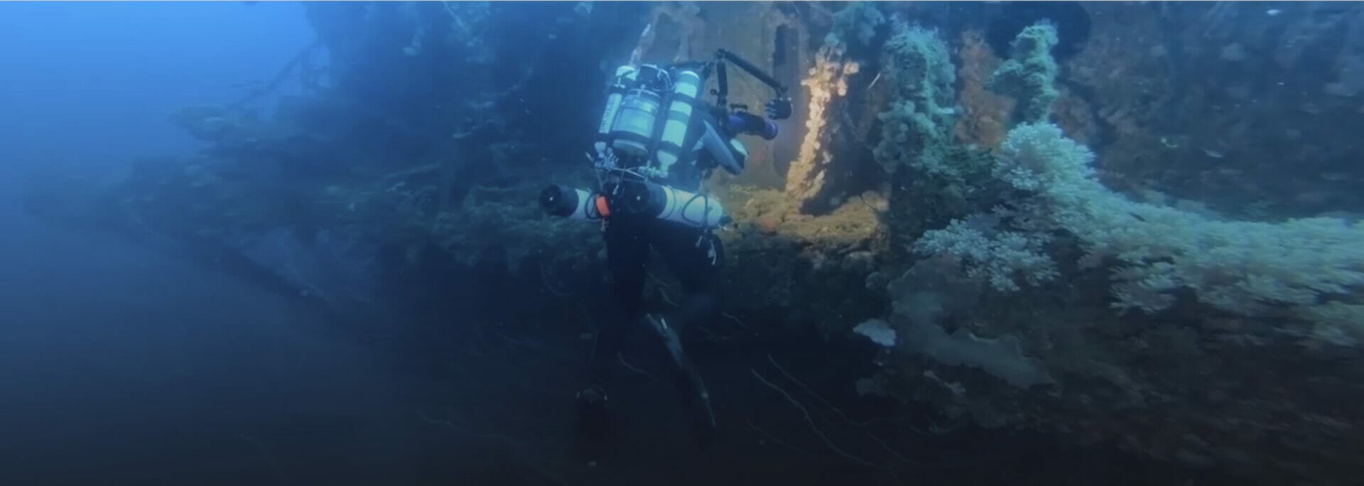
Global Airborne Observatory
Global Airborne Observatory is an expansion of the former Carnegie Airborne Observatory program. Now in its third generation, the Global Airborne Observatory is a complete airborne laboratory carrying the most advanced mapping technology operating in the civil sector today.
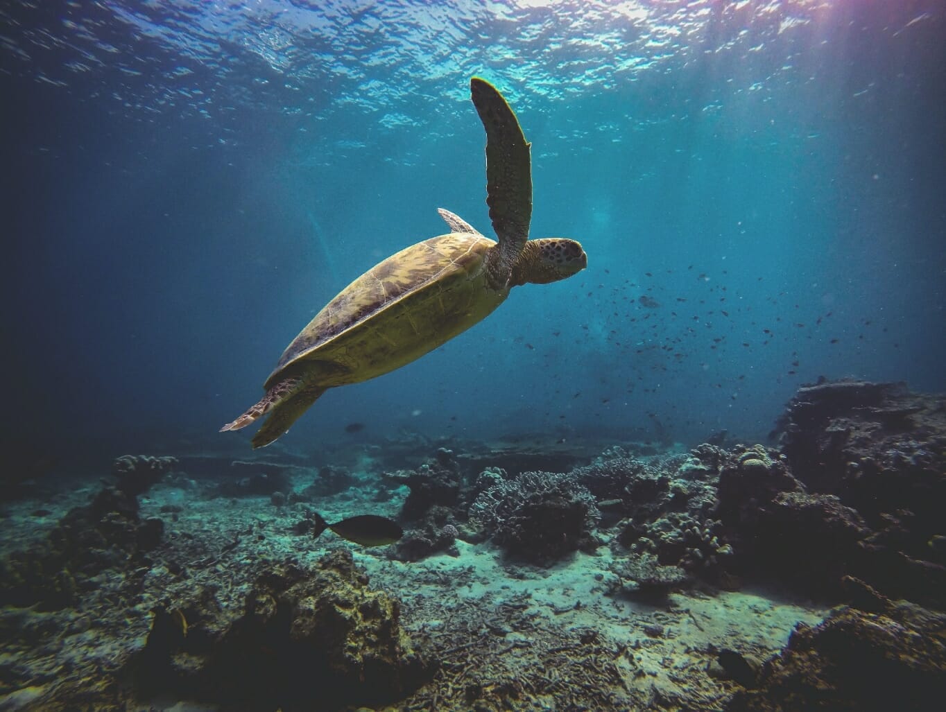
HAWAIICORAL
Created and led by GDCS, HAWAIICORAL is your premier destination to learn about Hawaiʻi’s 1,200 miles of coral reefs and how to help protect them. Our Ko‘a Corps unites citizen scientists with local research scientists and government agencies to ensure a holistic approach to reef conservation and action.
GDCS news
Sponsorships
Stay connected on social media
Making scientific discoveries, supporting conservation and galvanizing action.